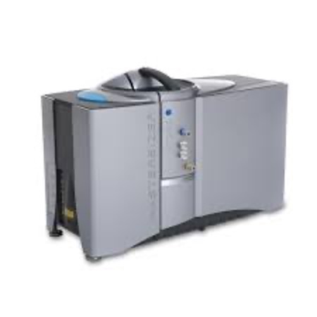
The platform is equipped with a Mastersizer 3000 HYDRO-G granulometer, measuring the size of particles suspended in a dispersant (water) by laser diffraction.
Principle of analysis:
This technique involves measuring the intensity of light scattered as a laser beam passes through a sample of dispersed particles. This data is then analyzed to calculate the size of the particles that created the diffraction image, according to Mie and Fraunhofer diffraction theory.
The particle size analyzer consists of three main components:
- an optical bench: a dispersed sample passes through the measurement zone of the optical bench, where the laser beam illuminates the particles. A series of detectors then precisely measure the intensity of the light scattered by the sample particles over a wide angular range.
- Sample preparation (accessories): Sample dispersion is controlled by a series of dry and liquid dispersion units. These ensure that particles are delivered to the optical bench’s measurement zone at the correct concentration and in a stable, appropriate state of dispersion.
- Instrument software: the particle size analyzer software controls the system during measurement and analyzes the scattering data to calculate the particle size distribution.
Analyses performed on the instrument:
Particle size analysis from 0.02 to 2000 µm
User Chart:
By using this instrument, the user undertakes to respect the general principles of fair use/re-use of data (ERIC DARIAH Data Re-use Charter). Intellectual property rights to results obtained on samples entrusted to the platform by an academic organization, and not involving any inventive activity on its part, remain with that organization. Users must adhere to the terms of DARIAH, in particular:
- A single citation format for the use of data (article, book or symposium/conference), which may only be used with the explicit agreement of all participants in the work, and must include an exhaustive list of authors.
- The data produced will be made available to the scientific community, if they have not been used after 5 years.