ESSOU Codjo Thomas Florent
Reservoir heterogeneity and hydrodynamic simulation in geothermal systems
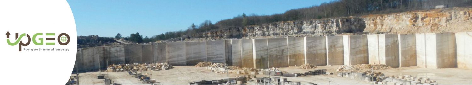
In France, heating networks are largely dependent on fossil fuels (42%), and deep geothermal energy represents less than 5% of the energy mix of heating networks [1]. Deployment of geothermal energy in large cities is limited by a geological risk, which is difficult to predict. The Région Ile-de-France energy-climate strategy has established the objective of producing 37TWh of renewable energy by 2030 [2], i.e., twice the current production (18TWh). This strategy targets to increase deep geothermal heat production to 3TWh, representing 8% of the renewable energy produced in Ile-de-France in 2030, a 3.5 factor higher than in 2015 [2]. As some aquifers are actually intensively exploited in Ile-de-France, the challenge will be to increase by a factor of 3.5 the heating networks using geothermal energy by targeting new potential area. In addition, there is a real risk that an installation may not reach a geothermal resource with sufficient flow and temperature characteristics to ensure the cost-effectiveness of the project during its life time [2]. This risk constitutes a real obstacle for the future development of geothermal energy in Ile-de-France. In Ile-de-France, Two main deep (between 0.2 km and 2 km) geothermal aquifers are exploited using geothermal doublets for heating networks: (1) the Middle Jurassic limestones (55-80°C) and (2) the Early Cretaceous sandstones (30-35°C). This project will work on innovative modeling methods by proposing solutions that optimize and explore the development of new areas in the Paris Basin. The optimization of the use of deep geothermal energy is a major challenge for the Région Ile-de-France, which has a population of nearly 12 million inhabitants. This optimization of geothermal production of aquifers requires (1) precise knowledge of the reservoir heterogeneity in terms of sedimentary geometries, porosity/permeability, reservoir connectivity and (2) reliable numerical simulations of flows and temperature evolution in the underground 30 years or even 100 years after production starts [3]. In order to reach the objective defined by the Ile-de-France region in its ‘energy-climate’ strategy [2] by reducing the risk of future operations as much as possible. For investors, often who are often from the public domain (municipalities or communities of municipalities), it is becoming urgent to have a reliable and precise numerical geological model, making it possible to predict the thermal and hydrological evolution of the aquifers. A well-defined stratigraphic architecture would reduce these risks by allowing precise water and heat flow simulations, identifying the influence by geostatistical distributions. This simulation will be done at the finest possible scale, taking into account the heterogeneity of sedimentary facies, porosity, diagenetic alterations, stratigraphic architecture, relationships with fracturing and the study of field analogues (outcrops).